6 -13 May 2018 (Happy Mothers Day!!
Dixie National Forest
Bryce Canyon National Park
We traveled through Red Rock Canyon on Hwy 12 getting to Bryce, drove through two of the iconic sights (thankfully they are 13ft 6 in tall).. 
We found an awesome boondocking site in the woods with our ” own” meadow as a front yard! I was able to shoe horn our house through the trees so we could have good solar. Life is good.
37.657271,-112.168110


We are 1/4 mile to the entrance of Bryce, in fact we are even closer than the nearest campground (Rubys).
Remember, Bryce is at the top of the Grand Staircase, and boy we feel the lighter air. We are at 7800 ft above sea level, where there is 70% less oxygen than we are used to. The elevation combined with the arid conditions are playing hell with our sinuses. Plus my brain does not need any less oxygen 😉
We are here before the wave of tourists arrive, so after we checked into the visitor center to get our bearings, we were able to drive their 18-mile scenic drive road. Once the park gets busy, you must park your car outside the park and take the shuttle bus.
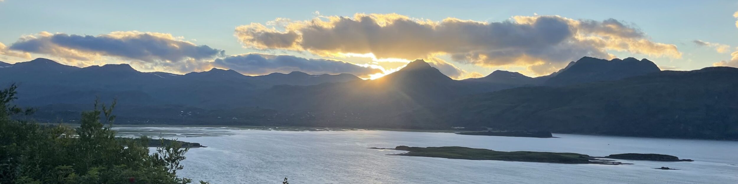
Along the drive there are many lookouts to enjoy the wonders of this vast canyon, and it hoodoos (pinnacles). The drive ends at Rainbow Point, the highest part of the park at 9105 feet. From there, Aquarius Plateau, Bryce Amphitheater, the Henry Mountains, the Vermilion Cliffs and the White Cliffs can be seen (parts of the stairs…). We were both a little light headed while walking around, and had to really take it slow and easy. But wow, what a view, I mean views, because everywhere I looked it was amazing.
So, let me backup a bit, Bryce Canyon is not really a canyon, but a series of amphitheaters that extends more than 20 miles north-to-south within the park. The erosion is caused by flowing streams and as it travels down the slope of the hills. The water erodes the stone at the beginning of the streams. Once the hard white rock is eroded, the soft red sandstone erodes quicker and is helped along by the wind as well. So you can imagine the “original ” slope of the hills, by looking at the tops of the Hoodoos and draw a line from the top of the hill to the valley below. The amount of Hoodoos is amazing. So many different shapes, some with what appears to be a rock balancing on top, when it really was eroded that way. So cool.
The Paiute Indians in the area developed a mythology surrounding the hoodoos in Bryce Canyon. They believed that hoodoos were the Legend People whom the trickster Coyote turned to stone. You can imagine each hoodoo is a person standing in an amphitheater witnessing the grand show of mother nature.

In typical government protocol, out of the 7 viewpoints along the scenic drive, one is called Sunset Point, the other Sunrise Point. The Ranger told us to go the Sunset Point for the best Sunrise, and go to Sunset Point for the Sunrise. Right when I was going to question what he just said, he said” Yeah know, it’s backwards”. Regardless, all the view points we went had awesome views and pictures just don’t do it justice. We thoroughly enjoyed Bryce, and after a week, ready to move to Capital Reef.


Geo,
Awesome post! Love Bryce! Your pics made me feel like I was there again.